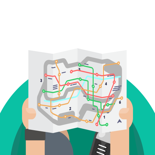
Choose a route and get a route map, transfer stations, a simplified schedule. For ease of use, metro-tram-bus transfer stations are grouped.
The entire transport scheme of the city is presented together in one application. Metro lines, tram and bus routes, transfer stations - you will find all this inside. Search by station name or route number, saving planned routes and geolocation are available in the basic version.
On the screen of your device you will see the whole scheme of public transport, and the degree of detail depends on the selected scale. The city map is presented in the background mode.
The scheme shows not only metro lines, but tram and bus routes as well. For convenience of use, the stations of possible metro-tram-bus transfers are grouped.
The search by station name will help you to find it on the map and select the proper transport. Search by route number allows you to quickly determine whether it suitable or not.
In the extended version, all functions work offline, which allows you not to waste precious time searching the Internet reception or pay for it in roaming.
By allowing the app to access the location and mark it on the map, you will see stations nearby. So you won't ever get lost and will be able to get anywhere in the city.
The routes you planned in advance, with transfers or without them, can be saved in the list and you may use them again at any time.
All apps are dedicated for the most popular platfoms iOs and Android. With our app, you will be able to use public transport in unfamiliar city without wasting precious time experiencing paper schemes. In the extended version, the app works even if there is no reception.